Ethels
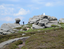
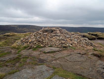
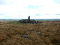
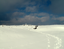
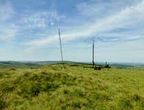
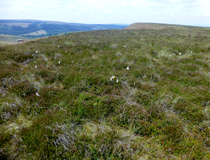
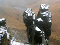
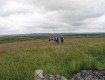
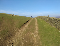
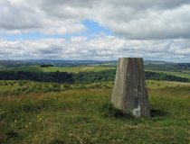
Kinder Scout
Height: 636 metres
County: Derbyshire
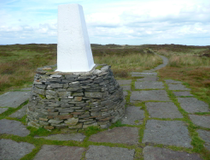
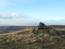
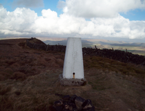
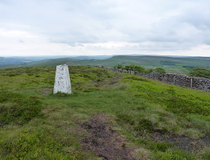
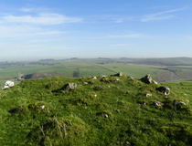
Bleaklow
Height: 633 metres
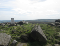
Higher Shelf Stones
Height: 621 metres
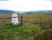
Grindslow Knoll
Height: 601 metres
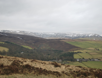
Black Hill
Height: 582 metres
County: Derbyshire / West Yorkshire
Brown Knoll
Height: 569 metres
Shining Tor
Height: 559 metres
County: Cheshire / Derbyshire
Axe Edge Moor
Height: 551 metres
High Stones (Howden Edge)
Height: 550 metres
County: South Yorkshire
Lord's Seat (Rushup Edge)
Whetstone Ridge
Height: 547 metres
County: Cheshire
Margery Hill
Height: 546 metres
Featherbed Top
Height: 544 metres
Mill Hill
Black Chew Head
Height: 542 metres
County: Greater Manchester
Featherbed Moss
Height: 541 metres
Back Tor (Derwent Edge)
Height: 538 metres
County: Derbyshire / South Yorkshire
Alport Moor
Height: 535 metres
White Low
Height: 530 metres
Britland Edge Hill
Height: 523 metres
Cheeks Hill
Height: 520 metres
County: Derbyshire / Staffordshire
Cats Tor
Height: 518 metres
Lost Lad
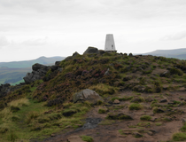
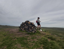
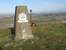
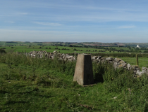
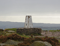
Mam Tor
Height: 517 metres
Oliver Hill
Height: 513 metres
County: Staffordshire
Black Edge (Combs Moss)
Height: 507 metres
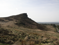
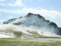
Shutlingsloe
Height: 506 metres
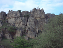
The Roaches
Height: 505 metres
Combs Head
Height: 503 metres
Burbage Edge (Goyt's Moss)
Height: 500 metres
West Nab
County: West Yorkshire
Dead Edge End
Height: 499 metres
Ashway Moss
Height: 497 metres
South Head
Height: 494 metres
Merryton Low
Height: 489 metres
Slitherstone Hill
Height: 477 metres
Snailsden Pike End
Lose Hill
Height: 476 metres
Mount Famine
Height: 473 metres
High Edge
Height: 472 metres
Bradwell Moor
Height: 471 metres
Eldon Hill
Height: 470 metres
Alphin Pike
Height: 469 metres
Win Hill
Height: 462 metres
Ramshaw Rocks
Height: 460 metres
High Neb (Stanage Edge)
Height: 458 metres
Chinley Churn
Height: 452 metres
White Path Moss
Height: 457 metres
Foxlow Edge
Hollins Hill
Height: 451 metres
Chelmorton Low
Height: 446 metres
Sough Top (Taddington Moor)
Height: 438 metres
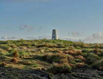
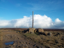
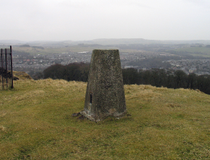
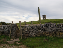
Stanedge Pole
Corbar Hill
Height: 437 metres
Higger Tor
Height: 434 metres
Grin Low
Height: 430 metres
Sir William Hill (Eyam Moor)
Height: 429 metres
Chrome Hill
Height: 425 metres
High Wheeldon
Height: 422 metres
Burton Bole (Shatton Moor)
Height: 417 metres
Durham Edge (Abney Moor)
Height: 416 metres
Sponds Hill
Height: 413 metres
Cown Edge
Height: 411 metres
Black Hill (Whaley Moor)
Height: 410 metres
Gautries Hill
Hen Cloud
Croker Hill
Height: 402 metres
Revidge
Height: 400 metres
Aleck Low
Height: 398 metres
Longstone Moor
Height: 395 metres
Pilsbury Hill
Wolfscote Hill
Height: 388 metres
Gun
Height: 385 metres
Crook Hill
Height: 382 metres
Carder Low
Height: 380 metres
Harborough Rocks
Height: 379 metres
Lantern Pike
Height: 373 metres
Minninglow
Height: 372 metres
Wetton Hill
Harland Edge (Beeley Moor)
Height: 371 metres
Eccles Pike
Height: 370 metres
Wardlow Hay Cop
Ecton Hill
Height: 369 metres
Tissington Hill
Blakelow Hill (Bonsall Moor)
Height: 367 metres
Musden Low
Height: 361 metres
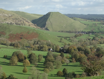
Parkhouse Hill
Height: 360 metres
Bole Hill (Burton Moor)
Height: 356 metres
The Cloud
Height: 343 metres
County: Cheshire / Staffordshire
Fin Cop
Height: 327 metres
Stanton Moor
Height: 323 metres
Bolehill (Cromford Moor)
Lees Moor
Height: 304 metres
Thorpe Cloud
Height: 287 metres
Harthill Moor
Height: 272 metres
No ethels with that name found.