Britland Edge Hill
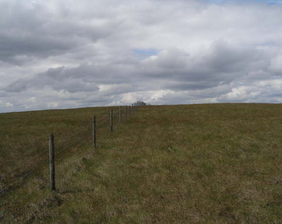
Britland Edge Hill is a prominent hill in the northern Peak District between the towns of Glossop and Holmfirth. It rises east of the A6024. To the south it descends to a prominent spur, known as Dewhill Naze, which in turn drops steeply into the valley of the Heyden Brook and Woodhead Reservoir. The hill, like most of the surrounding area is bare and open. There are no footpaths to the top, but there is a car park about 1.5 km to the north-northwest, where the A6024 crosses the adjoining ridge of Upper Heyden.
Ethel Data
- Height
- 523 metres
- Prominence
- 20 metres
- County
- Derbyshire / West Yorkshire
Map Data
- Grid Ref
- SE106026
- Lat/Lon
- 53.519967, -1.8415983
- Maps
- Google Maps - OS Maps
Recent Logged Ascents
|
Name
|
Date
|
Weather
|
Visibility
|
Source
|
|---|---|---|---|---|
|
06/09/2024
|
Cloudy
|
Poor
|
Manual
|
|
|
10/07/2024
|
Unknown
|
Unknown
|
Strava
|
|
|
26/06/2024
|
Sunny
|
Good
|
Manual
|
|
|
21/05/2024
|
Unknown
|
Unknown
|
Strava
|
|
|
07/05/2024
|
Unknown
|
Unknown
|
Strava
|
|
|
22/04/2024
|
Unknown
|
Unknown
|
Strava
|
|
|
26/03/2024
|
Other
|
Average
|
Manual
|
|
|
05/03/2024
|
Sunny
|
Excellent
|
Manual
|
|
|
03/03/2024
|
Unknown
|
Unknown
|
Strava
|
|
|
03/12/2023
|
Unknown
|
Unknown
|
Strava
|
|
|
04/10/2023
|
Wind
|
Excellent
|
Manual
|
|
|
08/09/2023
|
Sunny
|
Excellent
|
Manual
|
|
|
02/01/2023
|
Unknown
|
Unknown
|
Strava
|


