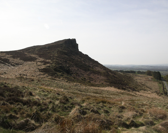
Hen Cloud
The Ethel Hen Cloud is 410 metres high and in the Staffordshire County. It is one of the 95 Ethels (Peak District Hills).
Ethel Data
- Height
- 410 metres
- Prominence
- 60 metres
- County
- Staffordshire
Map Data
- Grid Ref
- SK008615
- Lat/Lon
- 53.150637, -1.9894929
- Maps
- Google Maps - OS Maps
Recent Logged Ascents
|
Name
|
Date
|
Weather
|
Visibility
|
Source
|
|---|---|---|---|---|
|
13/11/2024
|
Fog
|
Poor
|
Manual
|
|
|
27/10/2024
|
Unknown
|
Unknown
|
Strava
|
|
|
10/10/2024
|
Other
|
Good
|
Manual
|
|
|
29/09/2024
|
Unknown
|
Unknown
|
Strava
|
|
|
29/09/2024
|
Unknown
|
Unknown
|
Strava
|
|
|
11/08/2024
|
Unknown
|
Unknown
|
Strava
|
|
|
02/08/2024
|
Sunny
|
Good
|
Manual
|
|
|
14/07/2024
|
Unknown
|
Unknown
|
Strava
|
|
|
13/06/2024
|
Unknown
|
Unknown
|
Strava
|
|
|
13/06/2024
|
Unknown
|
Unknown
|
Strava
|
|
|
13/06/2024
|
Unknown
|
Unknown
|
Strava
|
|
|
02/06/2024
|
Unknown
|
Unknown
|
Strava
|
|
|
29/05/2024
|
Unknown
|
Unknown
|
Strava
|
|
|
19/05/2024
|
Unknown
|
Unknown
|
Strava
|
|
|
23/04/2024
|
Sunny
|
Good
|
Manual
|
|
|
19/04/2024
|
Cloudy
|
Excellent
|
Manual
|
|
|
15/03/2024
|
Unknown
|
Unknown
|
Strava
|
|
|
08/03/2024
|
Unknown
|
Unknown
|
Strava
|
|
|
03/03/2024
|
Unknown
|
Unknown
|
Strava
|
|
|
18/02/2024
|
Rain
|
Average
|
Manual
|


