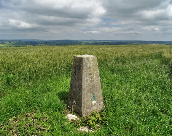
Sough Top (Taddington Moor)
Taddington Moor is a limestone hill between the villages of Taddington, Flagg and Chelmorton in the Derbyshire Peak District. The moor is an upland farming landscape. The summit at Sough Top is 438 metres (1,437 ft) above sea level. Five Wells is a Neolithic chambered tomb on Taddington Moor and it is a protected scheduled ancient monument.
Ethel Data
- Height
- 438 metres
- Prominence
- 20 metres
- County
- Derbyshire
Map Data
- Grid Ref
- SK133709
- Lat/Lon
- 53.23497, -1.8021996
- Maps
- Google Maps - OS Maps
Recent Logged Ascents
|
Name
|
Date
|
Weather
|
Visibility
|
Source
|
|---|---|---|---|---|
|
16/01/2025
|
Sunny
|
Excellent
|
Manual
|
|
|
23/10/2024
|
Unknown
|
Unknown
|
Strava
|
|
|
19/09/2024
|
Sunny
|
Good
|
Manual
|
|
|
24/07/2024
|
Sunny
|
Excellent
|
Manual
|
|
|
28/06/2024
|
Unknown
|
Unknown
|
Strava
|
|
|
23/03/2024
|
Unknown
|
Unknown
|
Strava
|
|
|
04/02/2024
|
Unknown
|
Unknown
|
Strava
|
|
|
04/02/2024
|
Unknown
|
Unknown
|
Strava
|
|
|
20/07/2023
|
Unknown
|
Unknown
|
Strava
|
|
|
20/07/2023
|
Unknown
|
Unknown
|
Strava
|
|
|
30/06/2023
|
Unknown
|
Unknown
|
Strava
|
|
|
22/12/2018
|
Other
|
Average
|
Manual
|
|
|
25/09/2013
|
Cloudy
|
Poor
|
Manual
|


