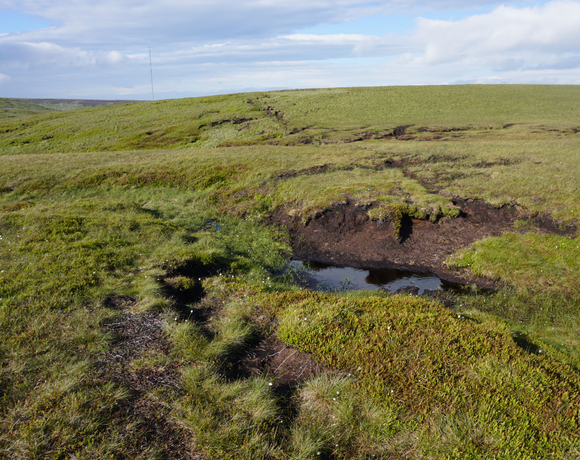
White Low
The White Peak, also known as the Low Peak, is a limestone plateau that forms the central and southern part of the Peak District in England. It is mostly between 270 metres and 530 metres above sea-level and is enclosed by the higher altitude Dark Peak (also known as the High Peak) to the west, north and east.
Ethel Data
- Height
- 530 metres
- Prominence
- 23 metres
- County
- Derbyshire
Map Data
- Grid Ref
- SE086021
- Lat/Lon
- 53.515509, -1.8717762
- Maps
- Google Maps - OS Maps
Recent Logged Ascents
|
Name
|
Date
|
Weather
|
Visibility
|
Source
|
|---|---|---|---|---|
|
20/01/2025
|
Cloudy
|
Good
|
Manual
|
|
|
10/11/2024
|
Unknown
|
Unknown
|
Strava
|
|
|
09/11/2024
|
Unknown
|
Unknown
|
Strava
|
|
|
18/08/2024
|
Unknown
|
Unknown
|
Strava
|
|
|
22/07/2024
|
Unknown
|
Unknown
|
Strava
|
|
|
06/07/2024
|
Unknown
|
Unknown
|
Strava
|
|
|
23/06/2024
|
Cloudy
|
Average
|
Manual
|
|
|
15/06/2024
|
Cloudy
|
Excellent
|
Manual
|
|
|
04/03/2024
|
Sunny
|
Excellent
|
Manual
|
|
|
02/03/2024
|
Unknown
|
Unknown
|
Strava
|
|
|
13/02/2024
|
Rain
|
Average
|
Manual
|
|
|
20/01/2024
|
Unknown
|
Unknown
|
Strava
|
|
|
02/09/2023
|
Cloudy
|
Average
|
Manual
|
|
|
19/06/2023
|
Cloudy
|
Good
|
Manual
|
|
|
15/06/2023
|
Sunny
|
Excellent
|
Manual
|
|
|
05/03/2023
|
Unknown
|
Unknown
|
Strava
|
|
|
25/11/2022
|
Unknown
|
Unknown
|
Strava
|
|
|
22/09/2021
|
Rain
|
Poor
|
Manual
|
|
|
23/04/2021
|
Unknown
|
Unknown
|
Strava
|
|
|
22/06/2019
|
Rain
|
Average
|
Manual
|


