Win Hill
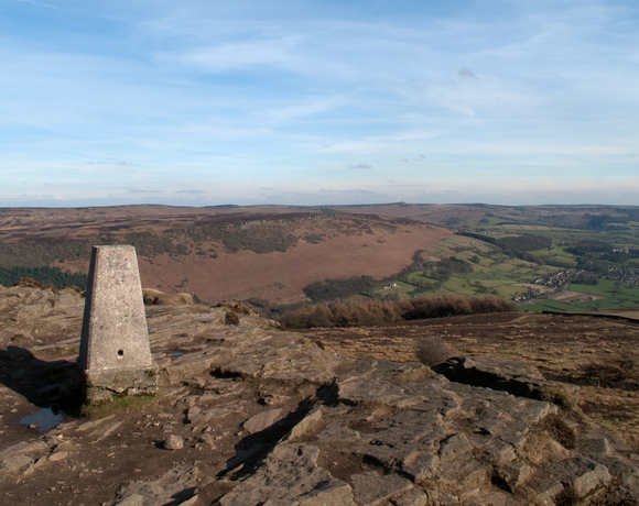
Win Hill is a hill north west of Bamford in the Derbyshire Peak District of England. Its summit is 462 m (1,516 ft) above sea level and it is bounded by the River Derwent to the east, the River Noe to the south west and Ladybower Reservoir to the north, with a ridge running north west linking it to Kinder Scout. The Roman road from Glossop over the Snake Pass crosses the ridge to the north and descends to Hope and the old Roman base of Brough in the Hope Valley, with the Hope Cross, a marker post dating from 1737, at the highest point of the road.
Ethel Data
- Height
- 462 metres
- Prominence
- 144 metres
- County
- Derbyshire
Map Data
- Grid Ref
- SK186850
- Lat/Lon
- 53.361551, -1.7219755
- Maps
- Google Maps - OS Maps
Recent Logged Ascents
|
Name
|
Date
|
Weather
|
Visibility
|
Source
|
|---|---|---|---|---|
|
14/12/2024
|
Unknown
|
Unknown
|
Strava
|
|
|
04/12/2024
|
Unknown
|
Unknown
|
Strava
|
|
|
28/11/2024
|
Unknown
|
Unknown
|
Strava
|
|
|
12/11/2024
|
Unknown
|
Unknown
|
Strava
|
|
|
26/10/2024
|
Unknown
|
Unknown
|
Strava
|
|
|
10/10/2024
|
Other
|
Good
|
Manual
|
|
|
28/09/2024
|
Unknown
|
Unknown
|
Strava
|
|
|
18/09/2024
|
Wind
|
Good
|
Manual
|
|
|
06/09/2024
|
Unknown
|
Unknown
|
Strava
|
|
|
18/08/2024
|
Unknown
|
Unknown
|
Strava
|
|
|
17/08/2024
|
Cloudy
|
Good
|
Strava
|
|
|
11/08/2024
|
Unknown
|
Unknown
|
Strava
|
|
|
11/08/2024
|
Unknown
|
Unknown
|
Strava
|
|
|
11/08/2024
|
Unknown
|
Unknown
|
Strava
|
|
|
27/07/2024
|
Unknown
|
Unknown
|
Strava
|
|
|
27/07/2024
|
Unknown
|
Unknown
|
Strava
|
|
|
06/07/2024
|
Unknown
|
Unknown
|
Strava
|
|
|
02/07/2024
|
Unknown
|
Unknown
|
Strava
|
|
|
26/06/2024
|
Unknown
|
Unknown
|
Strava
|
|
|
16/06/2024
|
Unknown
|
Unknown
|
Strava
|


