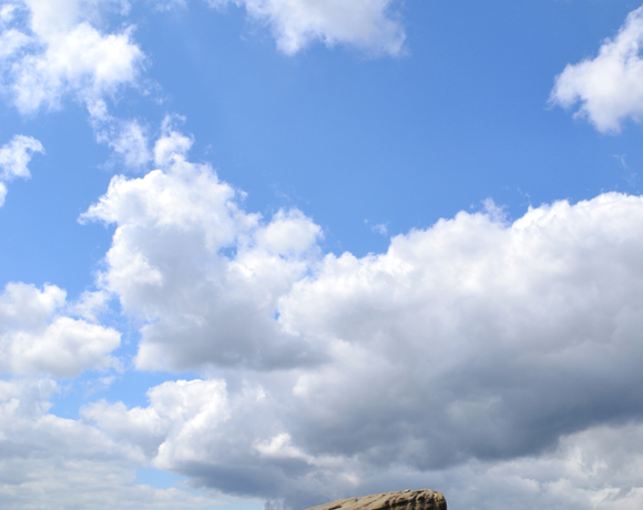
Margery Hill
Margery Hill is a 546-metre hill on the Howden Moors in South Yorkshire, England. It lies towards the northern boundary of the Peak District National Park, between Langsett Reservoir to the northeast and Howden Reservoir to the southwest. The area is managed by the National Trust as part of their High Peak Estate. Wikipedia
Ethel Data
- Height
- 546 metres
- Prominence
- 19 metres
- County
- South Yorkshire
Map Data
- Grid Ref
- SK189956
- Lat/Lon
- 53.456818, -1.7168363
- Maps
- Google Maps - OS Maps
Recent Logged Ascents
|
Name
|
Date
|
Weather
|
Visibility
|
Source
|
|---|---|---|---|---|
|
15/11/2024
|
Unknown
|
Unknown
|
Strava
|
|
|
11/11/2024
|
Sunny
|
Excellent
|
Manual
|
|
|
06/10/2024
|
Sunny
|
Excellent
|
Manual
|
|
|
01/10/2024
|
Rain
|
Poor
|
Manual
|
|
|
29/09/2024
|
Unknown
|
Unknown
|
Strava
|
|
|
07/09/2024
|
Rain
|
Poor
|
Manual
|
|
|
19/08/2024
|
Unknown
|
Unknown
|
Strava
|
|
|
23/07/2024
|
Unknown
|
Unknown
|
Strava
|
|
|
09/06/2024
|
Unknown
|
Unknown
|
Strava
|
|
|
06/06/2024
|
Unknown
|
Unknown
|
Strava
|
|
|
31/05/2024
|
Sunny
|
Excellent
|
Manual
|
|
|
05/05/2024
|
Sunny
|
Good
|
Manual
|
|
|
14/04/2024
|
Unknown
|
Unknown
|
Strava
|
|
|
02/04/2024
|
Unknown
|
Unknown
|
Strava
|
|
|
26/03/2024
|
Cloudy
|
Poor
|
Manual
|
|
|
02/03/2024
|
Unknown
|
Unknown
|
Strava
|
|
|
25/02/2024
|
Unknown
|
Unknown
|
Strava
|
|
|
11/02/2024
|
Unknown
|
Unknown
|
Strava
|
|
|
27/01/2024
|
Unknown
|
Unknown
|
Strava
|
|
|
05/01/2024
|
Unknown
|
Unknown
|
Strava
|


