Cheeks Hill
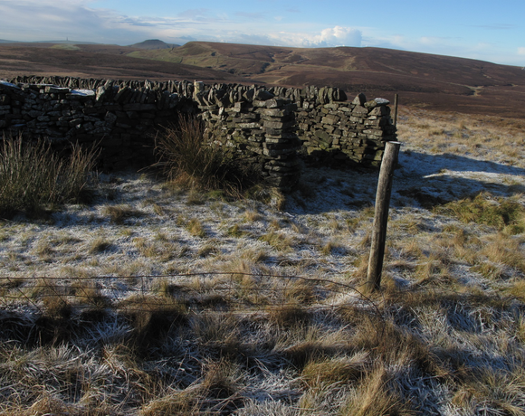
Cheeks Hill is a hill on Axe Edge Moor in the Peak District, England. It lies just south of the Cat and Fiddle Road near Buxton, and forms part of the border between Derbyshire and Staffordshire. The highest and most northerly point in Staffordshire, at 520 metres (1,710 ft) above sea level, is just south-west of its summit.
Ethel Data
- Height
- 520 metres
- Prominence
- 10 metres
- County
- Derbyshire / Staffordshire
Map Data
- Grid Ref
- SK026699
- Lat/Lon
- 53.226139, -1.9625131
- Maps
- Google Maps - OS Maps
Recent Logged Ascents
|
Name
|
Date
|
Weather
|
Visibility
|
Source
|
|---|---|---|---|---|
|
24/11/2024
|
Unknown
|
Unknown
|
Strava
|
|
|
10/10/2024
|
Other
|
Good
|
Manual
|
|
|
01/09/2024
|
Unknown
|
Unknown
|
Strava
|
|
|
15/07/2024
|
Cloudy
|
Good
|
Manual
|
|
|
22/06/2024
|
Sunny
|
Good
|
Manual
|
|
|
25/05/2024
|
Unknown
|
Unknown
|
Strava
|
|
|
13/03/2024
|
Unknown
|
Unknown
|
Strava
|
|
|
26/02/2024
|
Sunny
|
Good
|
Manual
|
|
|
24/02/2024
|
Unknown
|
Unknown
|
Strava
|
|
|
09/01/2024
|
Unknown
|
Unknown
|
Strava
|
|
|
31/12/2023
|
Unknown
|
Unknown
|
Strava
|
|
|
07/08/2023
|
Cloudy
|
Excellent
|
Manual
|
|
|
24/05/2023
|
Sunny
|
Excellent
|
Manual
|
|
|
18/04/2023
|
Unknown
|
Unknown
|
Strava
|
|
|
18/04/2023
|
Unknown
|
Unknown
|
Strava
|
|
|
11/04/2023
|
Unknown
|
Unknown
|
Strava
|
|
|
07/04/2023
|
Sunny
|
Excellent
|
Manual
|
|
|
11/01/2023
|
Cloudy
|
Average
|
Manual
|
|
|
21/09/2022
|
Unknown
|
Unknown
|
Strava
|
|
|
10/09/2022
|
Unknown
|
Unknown
|
Strava
|


