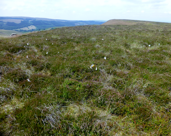
Combs Head
Combs Moss is a plateau-topped hill between Chapel-en-le-Frith and Buxton in Derbyshire, in the Peak District. The summit, Combs Head, is 503 metres (1,650 ft) above sea level. The moorland plateau is flanked by Combs Edge and the Goyt Valley to the west, the village of Combs to the north, Black Edge and Dove Holes to the east and Buxton to the south. The Midshires Way long-distance footpath follows a Roman Road across the southwestern end of Combs Moss.
Ethel Data
- Height
- 503 metres
- Prominence
- 41 metres
- County
- Derbyshire
Map Data
- Grid Ref
- SK041757
- Lat/Lon
- 53.278264, -1.9399723
- Maps
- Google Maps - OS Maps
Recent Logged Ascents
|
Name
|
Date
|
Weather
|
Visibility
|
Source
|
|---|---|---|---|---|
|
16/11/2024
|
Unknown
|
Unknown
|
Strava
|
|
|
10/10/2024
|
Other
|
Good
|
Manual
|
|
|
06/09/2024
|
Unknown
|
Unknown
|
Strava
|
|
|
17/07/2024
|
Cloudy
|
Good
|
Manual
|
|
|
04/07/2024
|
Unknown
|
Unknown
|
Strava
|
|
|
24/06/2024
|
Unknown
|
Unknown
|
Strava
|
|
|
23/04/2024
|
Unknown
|
Unknown
|
Strava
|
|
|
20/04/2024
|
Unknown
|
Unknown
|
Strava
|
|
|
13/04/2024
|
Unknown
|
Unknown
|
Strava
|
|
|
12/04/2024
|
Unknown
|
Unknown
|
Strava
|
|
|
25/02/2024
|
Sunny
|
Good
|
Manual
|
|
|
24/02/2024
|
Unknown
|
Unknown
|
Strava
|
|
|
23/02/2024
|
Unknown
|
Unknown
|
Strava
|
|
|
31/01/2024
|
Cloudy
|
Average
|
Manual
|
|
|
26/01/2024
|
Unknown
|
Unknown
|
Strava
|
|
|
26/01/2024
|
Sunny
|
Excellent
|
Manual
|
|
|
10/12/2023
|
Unknown
|
Unknown
|
Strava
|
|
|
04/11/2023
|
Rain
|
Poor
|
Manual
|
|
|
07/08/2023
|
Cloudy
|
Excellent
|
Manual
|
|
|
27/07/2023
|
Unknown
|
Unknown
|
Strava
|


