Harthill Moor
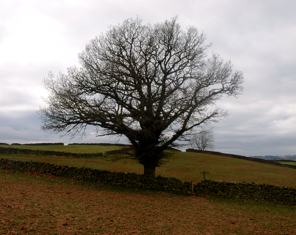
Harthill Moor is a small upland area in the Derbyshire Peak District of central and northern England, lying between Matlock and Bakewell near the villages of Birchover and Elton. The moor is within the southern portion of Harthill civil parish. Its highest point is 272 metres (892 ft) above sea level. The River Bradford flows along the northern edge of the moor past Youlgreave and into the River Lathkill at Alport. Harthill Moor is a rich prehistoric landscape with several protected Scheduled Ancient Monuments.
Ethel Data
- Height
- 272 metres
- Prominence
- 100 metres
- County
- Derbyshire
Map Data
- Grid Ref
- SK210627
- Lat/Lon
- 53.161015, -1.6873771
- Maps
- Google Maps - OS Maps
Recent Logged Ascents
|
Name
|
Date
|
Weather
|
Visibility
|
Source
|
|---|---|---|---|---|
|
19/10/2024
|
Unknown
|
Unknown
|
Strava
|
|
|
14/08/2024
|
Cloudy
|
Good
|
Manual
|
|
|
05/08/2024
|
Unknown
|
Unknown
|
Strava
|
|
|
31/03/2024
|
Unknown
|
Unknown
|
Strava
|
|
|
22/03/2024
|
Unknown
|
Unknown
|
Strava
|
|
|
08/01/2024
|
Cloudy
|
Good
|
Manual
|
|
|
04/01/2024
|
Sunny
|
Excellent
|
Manual
|
|
|
29/12/2023
|
Unknown
|
Unknown
|
Strava
|
|
|
23/10/2023
|
Unknown
|
Unknown
|
Strava
|
|
|
05/10/2023
|
Unknown
|
Unknown
|
Strava
|
|
|
28/08/2023
|
Cloudy
|
Good
|
Manual
|
|
|
26/08/2023
|
Unknown
|
Unknown
|
Strava
|
|
|
31/07/2023
|
Unknown
|
Unknown
|
Strava
|
|
|
11/06/2023
|
Unknown
|
Unknown
|
Strava
|
|
|
11/06/2023
|
Unknown
|
Unknown
|
Strava
|
|
|
03/06/2023
|
Unknown
|
Unknown
|
Strava
|
|
|
11/05/2023
|
Unknown
|
Unknown
|
Strava
|
|
|
16/04/2023
|
Unknown
|
Unknown
|
Strava
|
|
|
15/04/2023
|
Unknown
|
Unknown
|
Strava
|
|
|
25/03/2023
|
Unknown
|
Unknown
|
Strava
|


