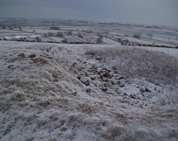
Chelmorton Low
The Ethel Chelmorton Low is 446 metres high and in the Derbyshire County. It is one of the 95 Ethels (Peak District Hills).
Ethel Data
- Height
- 446 metres
- Prominence
- 63 metres
- County
- Derbyshire
Map Data
- Grid Ref
- SK114706
- Lat/Lon
- 53.232317, -1.8306756
- Maps
- Google Maps - OS Maps
Recent Logged Ascents
|
Name
|
Date
|
Weather
|
Visibility
|
Source
|
|---|---|---|---|---|
|
16/01/2025
|
Sunny
|
Excellent
|
Manual
|
|
|
23/10/2024
|
Unknown
|
Unknown
|
Strava
|
|
|
19/09/2024
|
Sunny
|
Good
|
Manual
|
|
|
24/07/2024
|
Sunny
|
Excellent
|
Manual
|
|
|
28/06/2024
|
Unknown
|
Unknown
|
Strava
|
|
|
23/03/2024
|
Unknown
|
Unknown
|
Strava
|
|
|
20/07/2023
|
Unknown
|
Unknown
|
Strava
|
|
|
20/07/2023
|
Unknown
|
Unknown
|
Strava
|
|
|
09/11/2022
|
Unknown
|
Unknown
|
Strava
|
|
|
17/08/2022
|
Cloudy
|
Poor
|
Manual
|
|
|
26/06/2022
|
Unknown
|
Unknown
|
Strava
|
|
|
28/03/2022
|
Unknown
|
Unknown
|
Strava
|


